


 3rd November
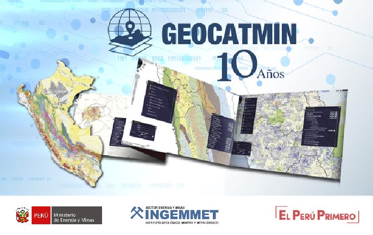
Geocatmin celebrates 10 years of service in Peru
According to Ingemmet, the system aims to provide mining, geological and general public users, a geo portal with information that seeks to promote research, transparency and access to researches, through 200 layers of information.
"Geocatmin is a great Ingemmet online window for free and open access to geological and mining cadastral information, which allows to integrate and standardize information for the development of investment projects," stated the institute.
With regard to its functionalities, they include locating mining concessions with mineral potential; identifying new projects considering the corresponding environmental permits; identifying geological hazards for public or private investment projects; identifying areas with environmental impact assessments (EIA) for reuse in new baseline studies of mining projects.
Similarly, it allows to locate areas with geological studies and prospecting in exploration projects to reuse them in new projects; locate energy sources (water, wind and geothermal) for investment projects; and identify population centers affected by a project, in order to design plans for public engagement.
"Only two years after its launch, in 2012, Geocatmin registered more than 160 million interactions, and today, in 2020, the system registers more than 1.4 billion interactions, with a daily average of 800 000 interactions, which would be, in times of pandemic, like attending to 1,400 people per day, worldwide," highlighted the geological institute.