


 1st December
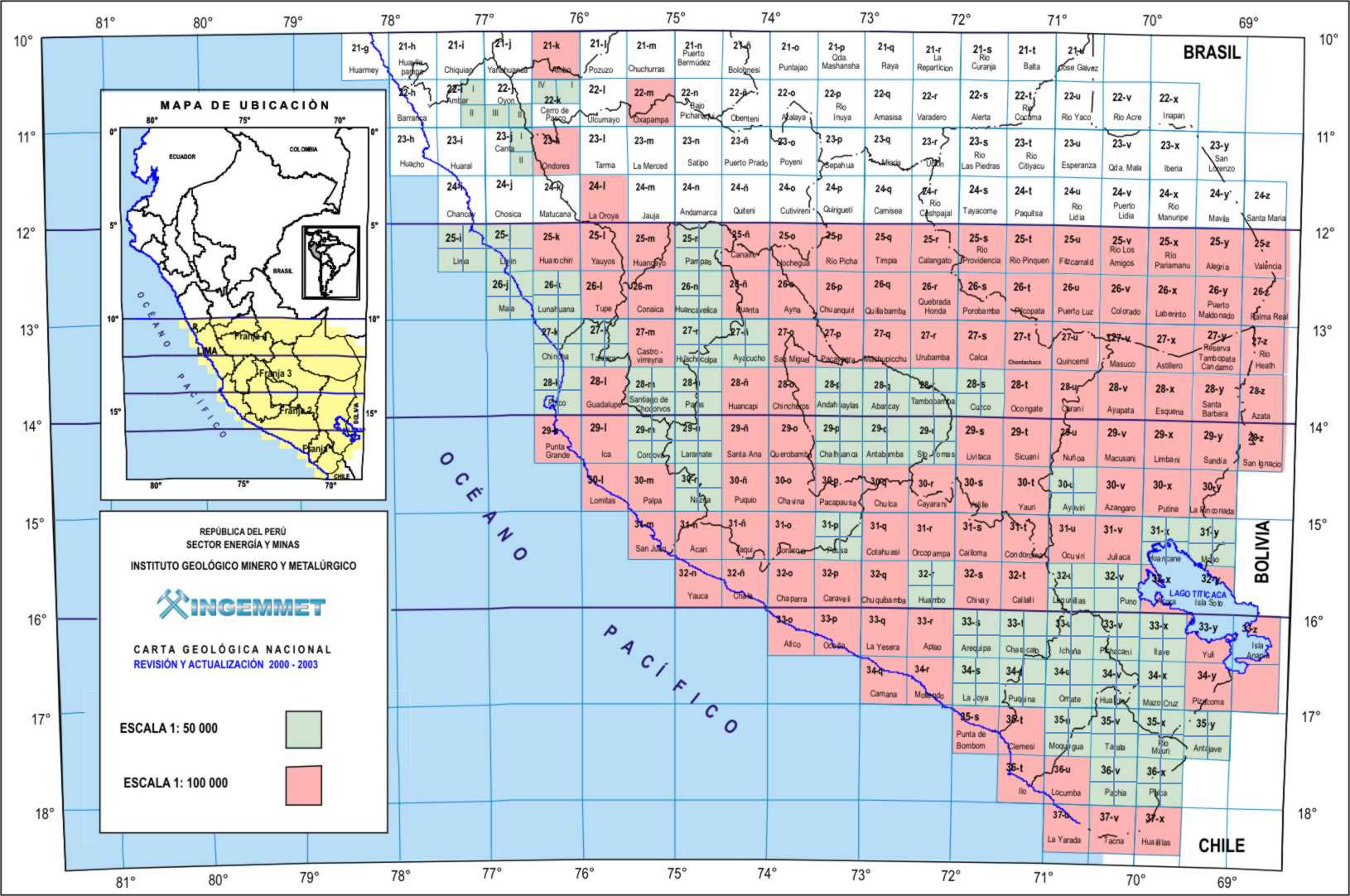
National Geological Map of Peru will have an integrated database in 2022
This was reported by Elvis Sánchez, researcher of the Regional Geology Directorate (DGR) of Ingemmet. In addition, he highlighted the use of Artificial intelligence (AI) for the synthesization and automation of stages in the development of the geological map at any scale.
The specialist participated in the virtual event 1st Seminar of the National 50k Geological Map, from the Coast to the Sub-Andean and its applications, under the topic "Challenges and perspectives of digital cartography in the National Geological Map to improve the quality of information and the participation of users in its elaboration".
Sanchez detailed that the use of technology for making geological maps consists of three stages: pre-field, field and post-field.
Importance of AI
On the last day of the event, which had the #SinCienciaYTecnologíaNoHayFuturo (No Science, No Technology, No Future), the application of Machine Learning in the creation of the National Geological Map on a scale of 1:50,000 was discussed.
In this regard, Luis Coba made a presentation on "The use of machine learning in the preparation of digital geological maps and its application in various research studies", where he indicated that in order to use this AI a standardized database is indispensable.
"In a digital geological map and with a database it is possible to make quick queries and elaborate different types of maps according to the user's needs", said Coba, who also highlighted that the technology makes it easier for the user to download and use the information.
It is worth mentioning that data architecture: related tables, frame standards, colors and others, are available so that users can elaborate maps in scales, depending on their requirements, under the same standards with which Ingemmet cartography is developed.
The event was closed by Engineer Rildo Rodriguez, Director of Regional Geology, who highlighted that the information provided by Ingemmet, through the geocatmin and the National Geological Map, promotes and enhances economic recovery.